
SOLUTION
Aerial surveying and mapping
The drone performs mapping tasks and captures photos at each flight location, leaving behind site survey images to track construction progress and completion rates.
The key benefits of aerial surveying and mapping
-
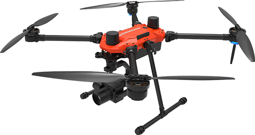
01Innovative Approach: DronesUsing drones offers the capability to collect data even in challenging and hazardous environments compared to traditional aerial surveying methods.
-
02Enhanced EfficiencyIt improves the efficiency of geographical information gathering and simplifies data processing.
-
03High-Resolution Mapping and ModelingDrones can be equipped with high-resolution cameras and sensors to capture detailed information that may be difficult to collect from the ground. This allows for the creation of accurate maps and 3D models.
Use Case
-
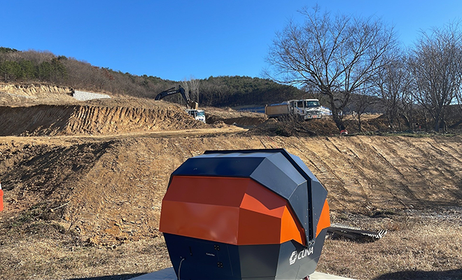
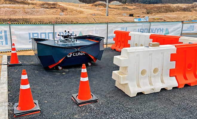
01 Hyundai Engineering & Construction Co., Ltd·Remote Management and Mapping of Construction SitesLarge-scale construction sites often face difficulties in management due to the dispersed nature of multiple teams across the site, and managing progress data regularly requires considerable time and effort. Moreover, conventional monitoring methods using CCTV installed on-site may have blind spots, limiting the availability of comprehensive information.·Utilizing Drones for Construction Site ManagementDrones can complement traditional monitoring methods by providing surveillance from heights without blind spots, thus enhancing monitoring coverage. With the ability to manipulate camera zoom and angles, the real-time status of the site can be quickly assessed. Additionally, automated periodic flights can be conducted to acquire progress data for efficient management.
-
Related Products
ㆍAerial surveying and mapping Solution Platform
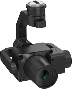
EasyMapper-C
Equipped with a 61MP image sensor, allowing for high-resolution output. This enhances the accuracy of mapped geographic information and model outputs.
-
-
 AQUILA-3F
 -
 EasyMapper-C61
-